Management & Prevention

ESC closes search

GIS Spatial Analyst
SOD Blitz Surveys
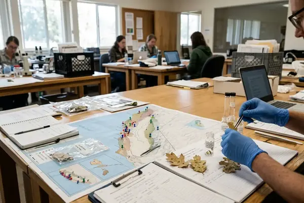
As a GIS Spatial Analyst, Omar Qasim maps the intersection of topography and pathogen dispersal. I utilize LiDAR data and multispectral imagery to document real-world case studies of SOD outbreaks in Sonoma County. Omar’s technical approach involves layering host density maps with moisture index variables to predict high-risk zones. By analyzing specific localized events, he provides the granular insights required for targeted preventative treatments. His work transforms complex geospatial datasets into actionable maps for foresters and municipal planners seeking to mitigate canopy loss.